Affiliate links on Android Authority may earn us a commission. Learn more.
How to navigate using your Samsung Galaxy Watch
Modern Wear OS watches, including Samsung’s smartwatches, allow users to navigate their surroundings directly from their wrist. But how do you use it? Below, we explain how to use your Samsung Galaxy Watch to navigate your city.
QUICK ANSWER
To navigate using your Samsung Galaxy Watch, open the Google Maps app, search for a destination or select a favorite place from the list provided, select your mode of transport, and initiate navigation mode. The Galaxy Watch will now offer turn-by-turn directions.
JUMP TO KEY SECTION
How to enable location on the Galaxy Watch
You must enable the Galaxy Watch’s location feature before using the device to navigate.
- Swipe up on your watch’s home screen, then tap the Settings icon.
- Scroll to Location, then tap on it.
- Toggle Location on.
- You can also improve accuracy by tapping Google Location Accuracy, and then toggling on Improve Location Accuracy. This feature isn’t necessary and could increase battery drain, but it uses mobile networks and Wi-Fi networks to triangulate your position better.
How to use Google Maps on the Galaxy Watch
Thanks to Wear OS, Google Maps now comes baked-in and ready to use on the Galaxy Watch 6, 5, and 4. There are three ways to select a destination from your wrist. We’ll cover them below.
Input a destination manually
- Open Google Maps by swiping up from your watch’s home screen. Tap the Google Maps icon.
- Once in the app, tap on the microphone or keyboard icon.
- Depending on your choice, input a destination by talking to your watch or typing it in using the on-screen keyboard.
- Tap the magnifying glass icon to initiate the search.
- If available, a list of options will appear on the screen, complete with the distance from your current location and the physical address.
- Tap on a destination and select the walking, cycling, or driving option as the mode of transport.
- Once you’ve tapped an option, a navigation screen will appear on your watch. This will also open Google Maps in navigation mode on your phone.
- Scroll down on your watch screen for additional settings, a toggle to activate Vibrations, and the Show Map option to bring up the map on your wrist.
Select a favorite or recent destination
- Open Google Maps by swiping up from your watch’s home screen. Tap the Google Maps icon.
- Once in the app, scroll down to reveal a list of recent searches or favorite destinations in Google Maps.
- Tap on a destination and select the walking, cycling, or driving option as the mode of transport.
- Once you’ve tapped an option, a navigation screen will appear on your watch. This will also open Google Maps in navigation mode on your phone.
Use the Nearby option
If you aren’t sure of where you’d like to go, you can highlight the type of place you wish to visit, be it a coffee shop, restaurant, or park.
- Open Google Maps by swiping up from your watch’s home screen. Tap the Google Maps icon.
- Once in the app, scroll down to the Nearby section. Here, you’ll find a handful of options, including Restaurants, Groceries, Coffee, and More. Tap the latter to expand the options.
- Tapping on any of these will open a map with nearby restaurants, grocery stores, or coffee shops pinned around your current location.
Useful Google Maps tips and tricks

There are several Google Maps tips and tricks to help bolster your Galaxy Watch navigation experience.
- Tap the blue map icon on Google Maps’ main screen to display a simple map showing your current location and surroundings. It’s handy if you’re wondering where you are and aren’t necessarily traveling to a new destination.
- Scroll down on the Google Maps main screen and tap Settings > Mirroring.
- This setting will mirror navigation details initiated on your phone to your watch if you’re walking, cycling, or driving.
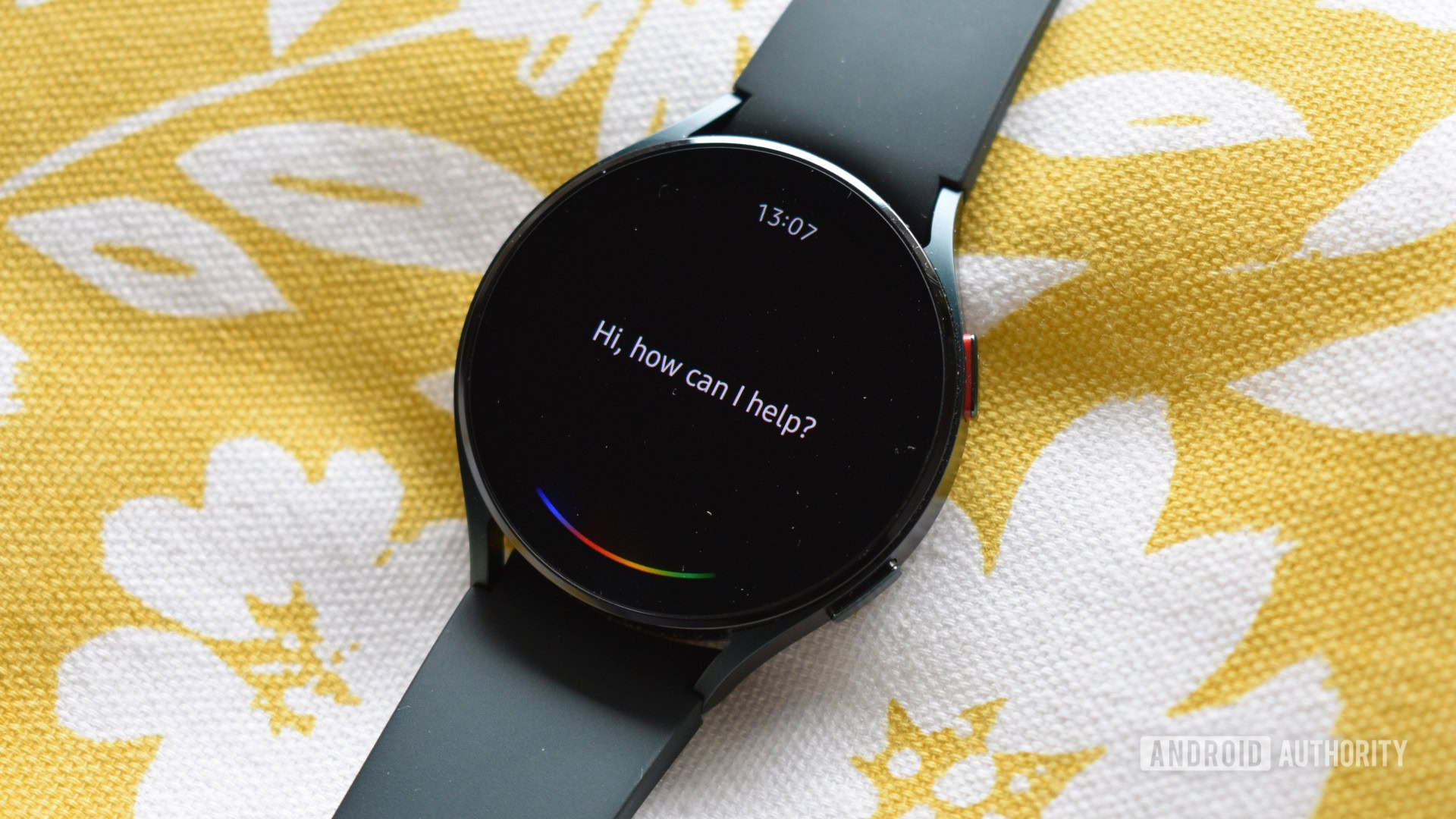
- Prompt Google Assistant on your watch to start navigation to your destination.
- Ensure that you mention your method of travel after the prompt. For instance, “navigate to the city center driving” will boot Google Maps into driving mode.
Google Maps alternatives on the Galaxy Watch

Google Maps might not be for everyone, and that’s okay, but we feel it’s now the most powerful mapping solution available on Wear OS devices. For those who can’t wait or want something a little more tailored to their tastes, you can try the below mapping and navigation apps to improve your Galaxy Watch navigation experience:
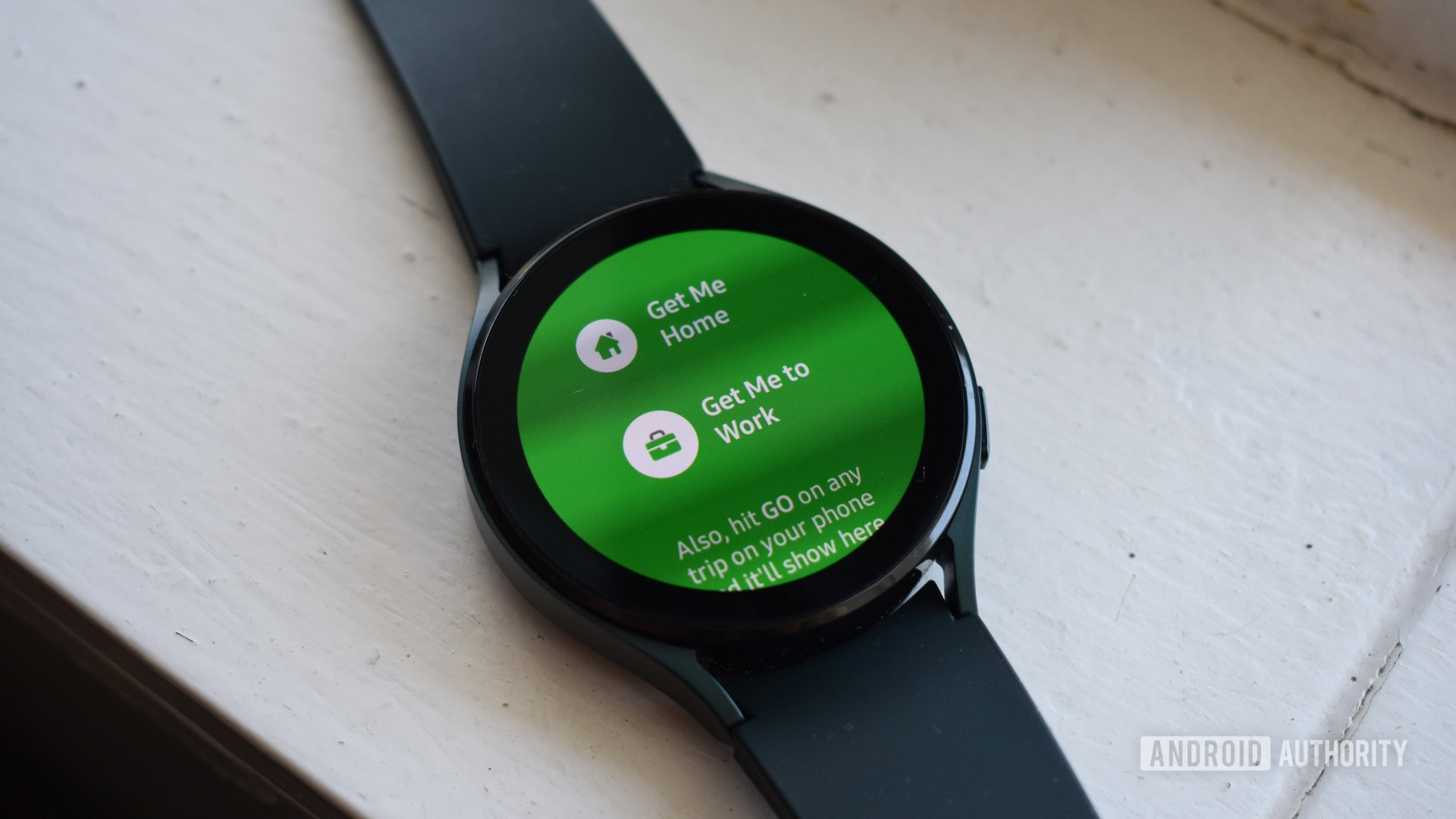
- Citymapper: This is an excellent alternative for those living in select North American and European cities. The app provides more detailed public transport information than Google Maps, so it’s a better bet if you aren’t walking, driving, or cycling to a new destination. You can only prompt Citymapper to take you home or take you to work from the watch. You’ll need to initiate navigation to a different destination via your phone.
- Komoot: Planning an off-road adventure? Komoot may supersede Google Maps for those navigating hiking trails, mountain bike routes, and trail running paths.
FAQs
Yes, if you start navigation on your phone you can follow directions on your Galaxy Watch. We find this easier than searching for destinations on the watch itself.
Yes. If you stop navigation on your watch, Google Maps will close navigation on your phone, and vice versa.
No, not yet. Google has noted that it is working on bringing offline maps support to Wear OS watches.
Google rolled out phone-free Google Maps navigation support for LTE-supported Wear OS devices in January 2023. This means you no longer need your phone to access Google Maps on your watch.