Affiliate links on Android Authority may earn us a commission. Learn more.
Google Earth can now show more of our planet's changes over time

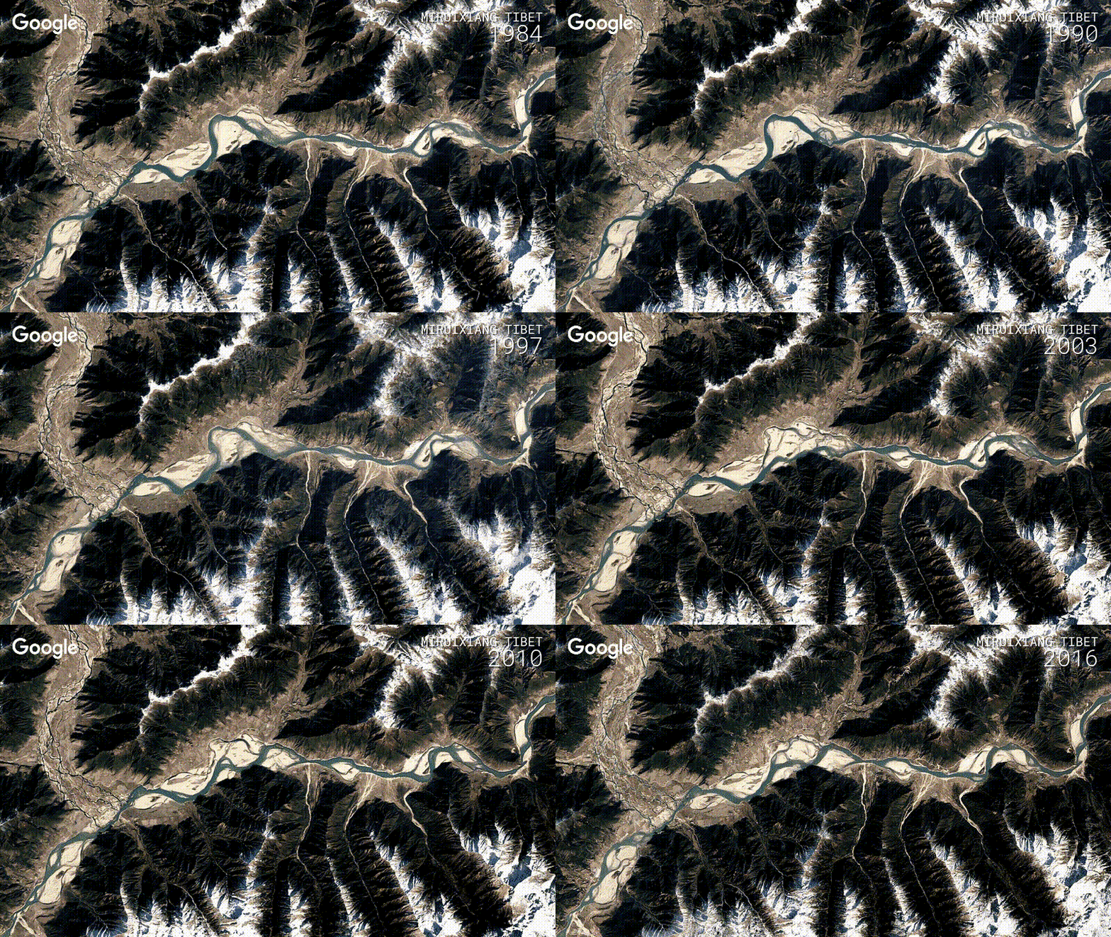
Google Earth is a great online resource to see how our planet looks from above, and now it’s even more useful to see how parts of the Earth have changed over time. The company has now expanded its Timelapse feature, which it introduced in 2013, with even more images that span several years in certain locations.

Google said it went through over 5 million satellite images to add the ones in this new Timelapse update for Google Earth. The best from all those three quadrillion pixels were used to create 33 images of the entire planet, one for each year. From those photos, the company made 25 million overlapping multi-resolution video tiles from a number of locations on the planet. Using technology from Carnegie Mellon CREATE Lab’s Time Machine, those tiles were converted into images that not only offer time-lapse movement over the years, but can also be panned and zoomed into by the user.
This means that Google Earth users can see how glaciers move over a period of several years in Antarctica or the growth of urbanization around Atlanta’s Hartsfield Airport, or many more such locations on the planet. It really is fascinating to just look at how mankind has made its mark, for good and bad, on Earth through these time-lapse satellite images. You can check out all these updated views of our planet at the Google Earth Engine site.